Northumberland Walks Logo

Northumberland Walks Panorama.
Homepage * Site Map * Privacy * Terms * E-mail

© Copyright - All walk descriptions and photos on this website are subject to copyright.


Northumberland-Walks.co.uk - photographic walks in Northumberland.


West Woodburn - East Woodburn Circular Walk

Introduction

This walk in the valley of the River Rede takes in the villages of West and East Woodburn. The river is crossed twice - once over the bridge that carries the busy A68 trunk road and then over a very fine old stone bridge further upstream.

Distance - Under 4 miles, depending on where you park.

Parking - Extremely limited, we parked along the road to Bellingham, some distance from the A68.

Toilets - None - nearest in Otterburn or Bellingham.

West Woodburn.
West Woodburn.

Bridge across the River Rede.


Walk

1) We started this walk from the road to Bellingham and walked east towards the A68 and West Woodburn.

View to West Woodburn.

Approaching West Woodburn on the Bellingham Road.
Approaching West Woodburn on the Bellingham Road.


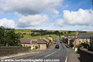
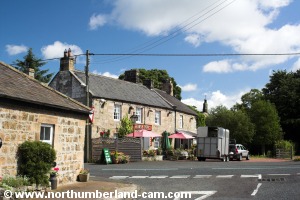
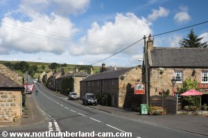
2) On reaching West Woodburn at the Bay Horse Inn we turned right onto the A68 road, crossing to the footpath on the east side.

Turning right at the Bay Horse Inn.

View looking north along the A68.


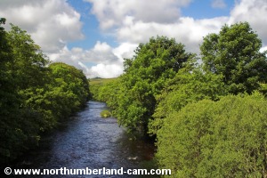
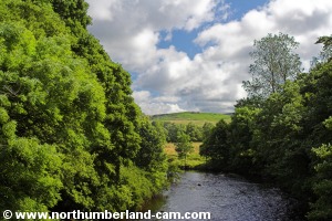
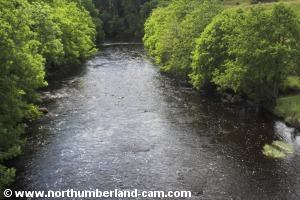
3) A short distance up the hill we reached the bridge over the River Rede. We stopped here to take some photos of the fine views along the river in both directions.

View looking back from the bridge.

View west along the River Rede.


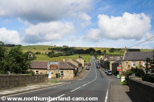
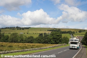
4) From the bridge we walked uphill alongside the busy road which many think is the most picturesque route to Scotland. After a short distance we reached the minor road on our left which leads east to East Woodburn.

View east along the River Rede.

View back down to the village.


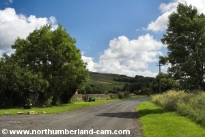
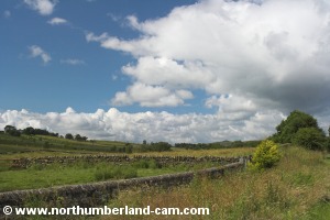
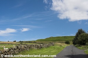
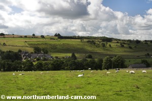
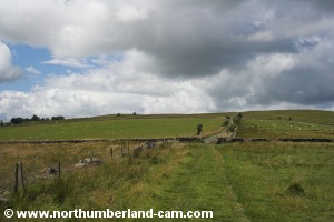
5) This is a nice country road with no footpath and fine views all round.

Road to East Woodburn.

Roadside view.
Roadside view.


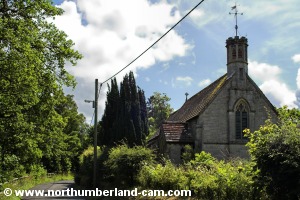
6) We soon reached the small All Saints Church on the roadside. Unfortunately we couldn't visit the church as loose roof tiles were causing a danger and it was closed.

Horses enjoying the sunshine.

All Saints Church.
All Saints Church.


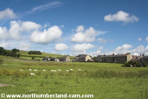
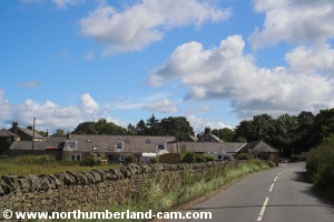
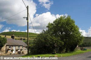
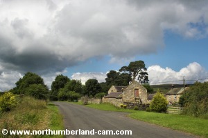
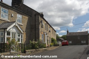
7) The road continues alongside the River Rede on the left past a farm, before approaching East Woodburn.

Near East Woodburn.
The road near East Woodburn.

Farm near East Woodburn.

Roadside view near East Woodburn.

Looking back along the road near East Woodburn.


8) In the village we turned left towards Chairford Bridge which crosses Lisles Burn.

East Woodburn.
East Woodburn.

Chairford Bridge.
Chairford Bridge.


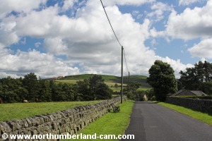
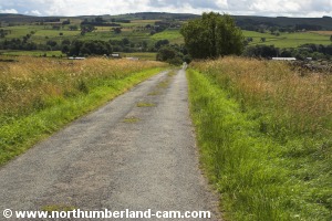
9) After crossing the bridge we followed the road uphill until we reached a small crossroads.

View on north side of Chairford Bridge.

Road leading uphill on north side of Chairford Bridge.


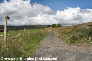
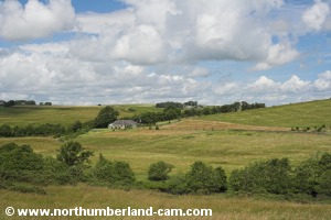
10) We turned left along a narrow tarmac road with superb views over the valley on our left.

Turning left at the crossroads.

Road towards the River Rede.


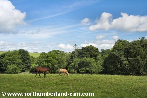
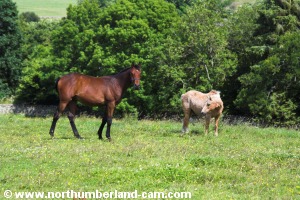
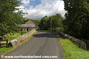
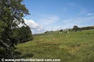
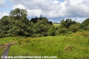
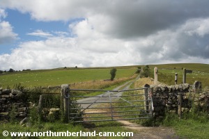
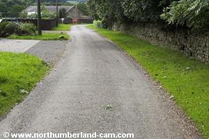
11) The road passes some farm buildings before becoming a track where it starts to drop down to the River Rede. At this point a sign warned of cows protecting their calves.

View south across the valley.

The road becomes a track.


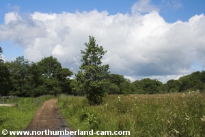
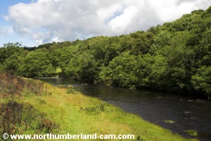
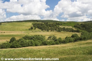
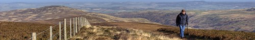
12) The track follows the course of the river along the valley, a sun trap on warm days, like the one when we visited.

Following the track down to the river. Following the track down to the river.
Following the track down to the river.
The track passes through a pleasant pasture. The track passes through a pleasant pasture.
The track passes through a pleasant pasture.


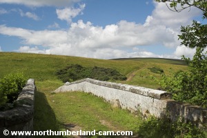
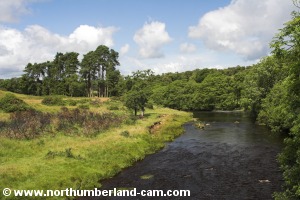
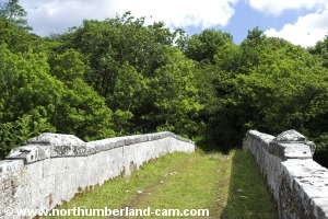
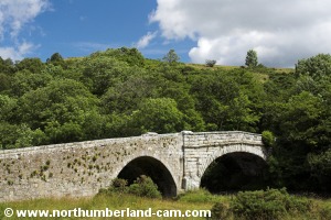
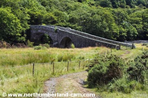
13) After awhile we reached a bridge across the River Rede. The bridge is quite high above the river and provides fine views in each direction.

Bridge across the River Rede.

River Rede looking upstream.
River Rede looking upstream from the bridge.

River Rede looking downstream.
River Rede looking downstream from the bridge.

View back across the bridge.


14) After crossing the bridge we took some time to stop and take photos of it. The bridge is a particularly fine looking structure and at some point in time must have been an important river crossing point, although we could find very little information about it.

River Rede looking upstream.

View of the bridge from the riverside.


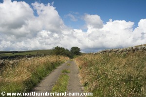
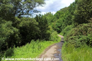
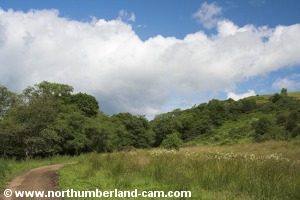
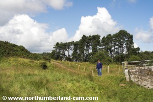
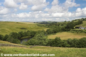
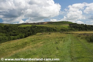
15) From the bridge we followed the track uphill which soon reaches an open hillside.

Starting up the track from the bridge.

View back down to the bridge.


16)  At this point we stopped again to enjoy the superb views up the valley of the River Rede and the surrounding hills.

View looking north along Redesdale. View looking north along Redesdale.
View looking north along Redesdale.

View towards Raylees Common.

View back along the track.


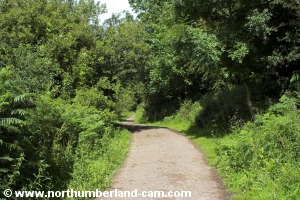
17) We soon reached a gate where the track joined a road which leads down from the A68. At this point we turned left towards West Woodburn.

Approaching the road from the A68.

Gate at the end of the track.


18) Following the road downhill we reached a junction where we turned right into West Woodburn. From here we walked through the village, reaching the A68 again and followed the Bellingham road back to our car.

Road down to West Woodburn.

Road through West Woodburn.


Notes

Walking Gear:

- Walking boots or walking shoes advisable depending upon weather.

- Waterproof clothing advisable depending on the weather forecast.


Food and drink advisable.

Maps - Ordnance Survey Landranger sheet no 80.

Use of information on this page is at the users risk and subject to our terms of use. (No reproduction without permission).


To see larger photos please visit
Northumberland Cam


Northumberland Walks Logo

© Copyright - All walk descriptions and photos on this website are subject to copyright and may not be reproduced in any format without prior permission.


If you would like to use any walking article or photo please use our E-mail form to make your request.

Northumberland-Walks.co.uk ©
Homepage * Site Map * Privacy * Terms * E-mail

Link opens new browser window.

Link opens new browser window.