|
| 
|
|
Northumberland-Walks.co.uk - photographic walks in Northumberland.Longshaws and River Font Circular Walk.
IntroductionThis circular walk starts at Oldpark Wood, South of Netherwitton. The route follows farm tracks, tarmac roads and footpaths through fields, crossing the River Font twice. The route can be followed in either direction, we followed an anticlockwise route. Some parts of the route can be muddy after rain. Total distance - just over 4 miles.
WalkThere is some roadside parking on the narrow road between Netherwitton and East Thornton. This is on the East side of Oldpark Wood. The O/S grid reference is approx. NZ1114388378. The starting point for the walk itself is the junction of this road and the small road to Longshaws.
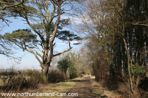
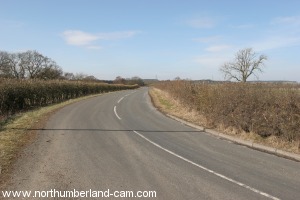
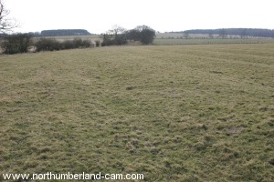
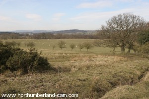
From here, walk east along the road towards Longshaws, enjoying views over the River Font Valley to the north. After passing a wood on your left and the electricity pylons that run past here you will reach Longshaws.
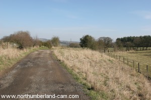
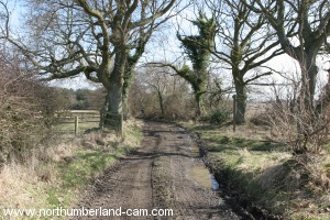
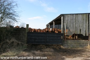
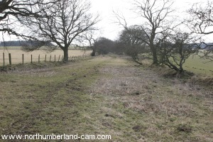
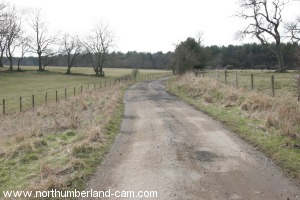
Continue past the farm on your left staying on the track. This track can become very muddy in places and you may need to pick your way along the edges past the deep puddles if there has been rain.
After about half a mile from the farm the track turns sharp left, this is likely to be the muddiest point, after that the track should be OK.
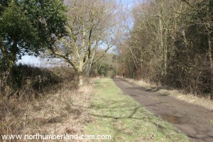
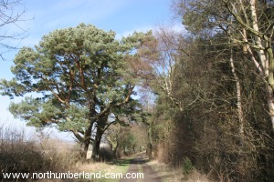
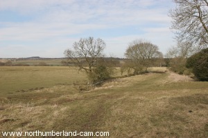
Follow the track which now runs roughly north with some fine pine trees alongside.
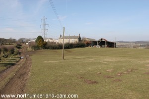
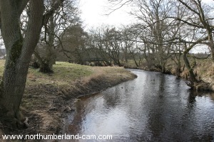
After about another half mile you will pass Wood House on your left before arriving at the River Font.
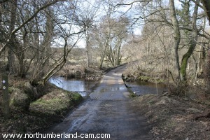
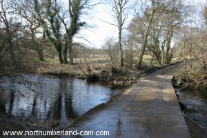
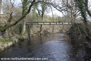
Cross the river by the Ford if dry or by a small footbridge on your right if flooded.
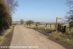
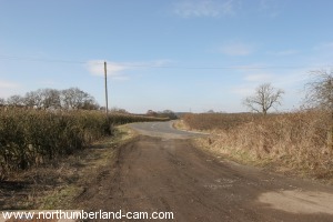
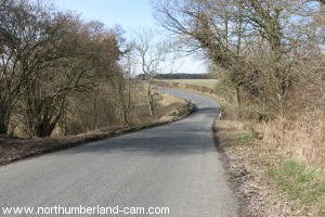
After crossing the river follow the track uphill until you reach a road, just past the house on your right. Turn left along this road which is the road from Morpeth to Netherwitton. Take care along here as some traffic may be travelling quite quickly.
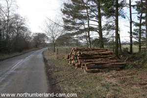
The road runs alongside the River Font (which is flowing in the opposite direction) towards Netherwitton. After about 3/4 of a mile you will pass a wood which may be felled depending on when you do this walk, but should still be apparent. (You will cross under the pylons again here).
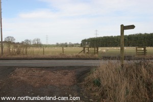
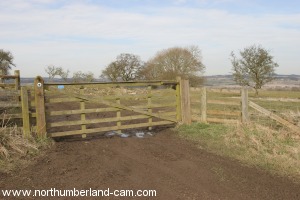
Just past the wood is a small road to the left towards Longshaws Mill. Turn left along this road, shortly passing through a gate and crossing a cattle grid.
After a short distance you will arrive back at the River Font, crossing it once again by ford or footbridge depending on the height of the river.
The road continues to Longshaws Mill (a private residence), where the footpath continues on through the property and uphill into a field. A possible detour here is to follow a footpath to the right towards Shelly, we didn't take it.
Walk uphill following the path which once again can be muddy and is obviously well used by horses or cattle in places.
Continue following this path uphill until you reach the road you walked along to Longshaws. Turn right at the gate onto the road returning to the starting point and then to your parking place.
Notes
To see larger photos please visit Northumberland Cam
| ||||||||||||||||||||||||||||||||||
|