|
| 
|
|
Northumberland-Walks.co.uk - photographic walks in Northumberland.Walk Around Fontburn ReservoirIntroduction We started this walk at the car park beside Fonburn Reservoir Dam. The approach to the reservoir is along a narrow country road with passing places. From the car park we followed a route along the dam and on roads past Newbiggin Farm onto muddy footpaths and returned along the south side of the reservoir. This was not a way marked trail, but we did follow public footpaths and roads / footpaths open to the public at that time. Distance - Approx 3.5 miles Parking - Fontburn Reservoir Toilets - Nearest public - Rothbury (Toilets at car park visitor centre when open)
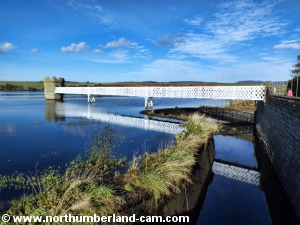
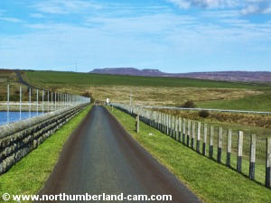
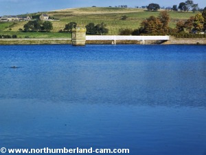
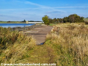
Walk 1) We left the car park and walked north past the valve tower towards the dam. Many of the valve tower buildings in older reservoirs were built with a bit of style as well as being functional, unlike the modern concrete structure.
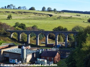
2) As we walked along the dam we stopped to look at the fine old railway viaduct on our right. It's not too hard to imagine a steam train making it's way towards Rothbury or Scots Gap in the other direction. It's a pity the viaduct is closed to walkers.
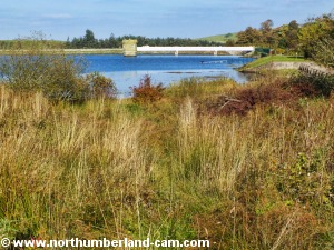
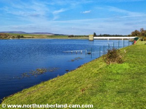
3) At the north end of the dam there were quite a few anglers on the north shore. Fontburn is a popular fishing location.
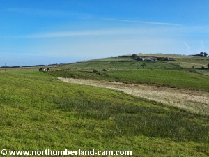
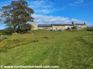
4) Just past the end of the dam we followed the road right and then left towards Newbiggin Farm.
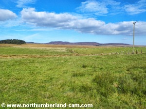
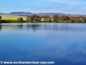
4) Just past the end of the dam we followed the road right and then left towards Newbiggin Farm. There are fine views of the Simonside Hills from here. This road was not marked as a public right of way, but crossed access land and the farmer waved as he passed us on a quad bike.
5) Further along the road after passing through a gate, a public footpath joined the road, before the farm. When we passed the farm we turned left and continued along this path towards the west end of the reservoir.
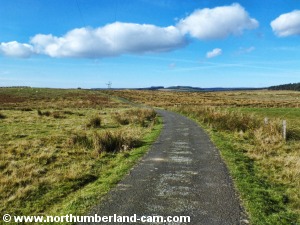
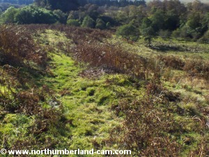
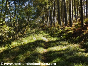
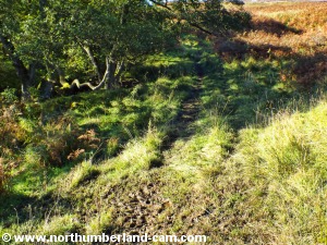
6) The path became a bit unclear and muddy, but we kept high above the stream on our right, through rough ground until we reached a marker post and a gate ahead.
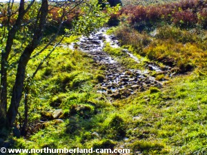
7) The gate was new and not in use so we had to follow the path downhill to reach the gate in use. This path was obviously very well used by cows and other livestock and was knee deep in mud! We managed to keep to the side by hanging onto the fence until we passed through to less muddy ground.
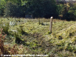
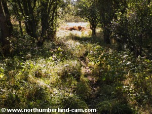
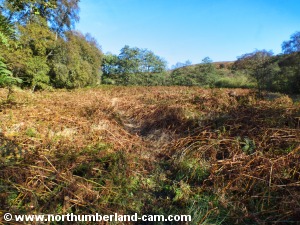
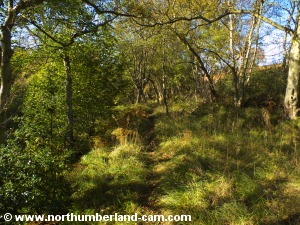
8) At this point we followed the path across boggy ground before crossing a footbridge which took us to a bracken covered clearing which we crossed.
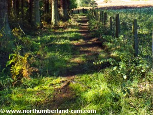
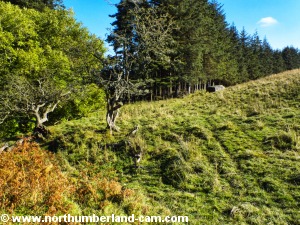
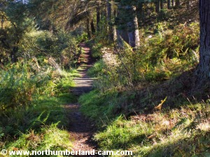
9) After the clearing we followed the path into the woods where it became much firmer underfoot. This was a very quiet and pleasant area.
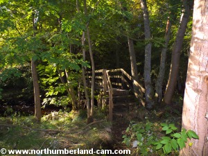
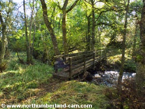
10) We crossed another footbridge and continued through the woods at the west end of the reservoir which we could just see through the trees.
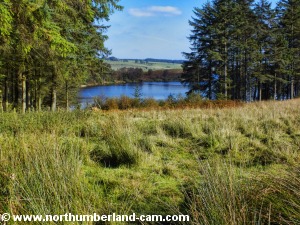
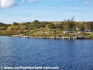
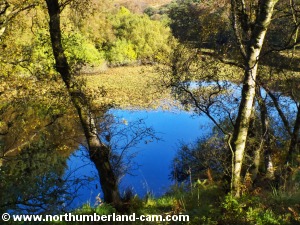
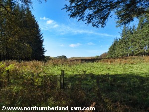
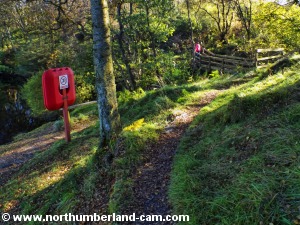
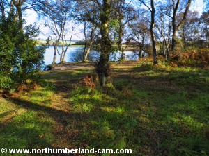
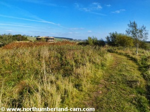
11) Continuing along this path we were rewarded with views of the west end of the reservoir. This is a nature reserve and fenced off to protect the wildlife. This area was very peaceful and apart from one set of footprints on the path seemed unvisited. In fact the only person we saw on this walk after leaving the dam was the farmer some distance back.
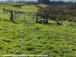
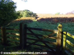
12) We followed the path away from the reservoir, heading west and through a gate.
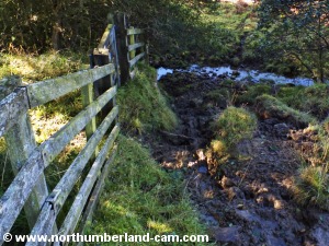
13) After more muddy ground we turned left where we saw a rough track across a stream. More mud and water to cross!
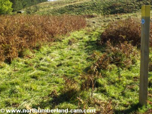
14) On the south side of this stream we turned left at a marker post. This was a waymarked path from the reservoir.
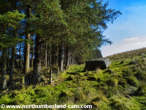
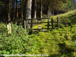
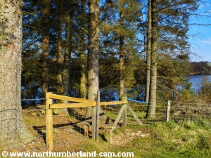
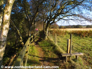
15) We followed this path towards a large boulder where we crossed a stile.
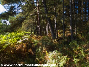
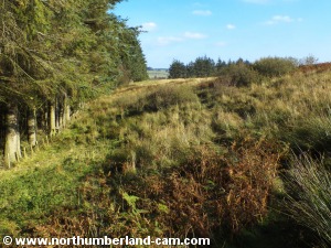
16) On the other side of the stile the path rose steadily through some boggy patches, with the woods and reservoir on our left.
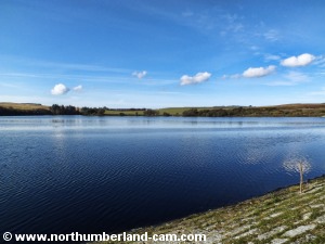
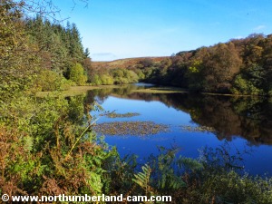
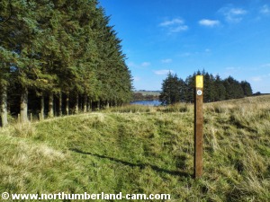
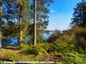
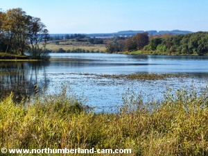
17) As the path levelled out there was a fine view of the reservoir ahead. After crossing more boggy ground we reached a stile above the south shore of the reservoir.
18) The path dropped down towards the shore, through the woods, where a clearing gave us a view right along the reservoir to the dam.
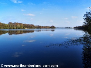
19) The path was much drier along here and is a path used by anglers to some of the fishing locations. We soon reached one of these and stopped to take some photos with a long lens, looking towards the dam and valve tower, where we started this walk.
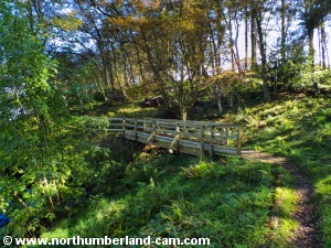
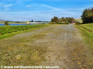
20) The path rose towards a footbridge which we crossed.
21) This took us to another footbridge a short distance further on.
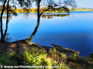
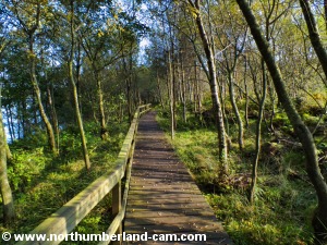
22) After crossing this bridge we reached another small clearing with a bench seat beside the shore, with more fine views. After the seat the path became a board walk before rising away from the shore.
23) We followed the path alongside the woods and fields until we reached the reservoir shore once again.
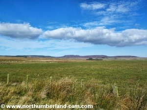
24) At this point we stopped for more photos as this was another good viewpoint. In the distance the Simonside Hills formed the backdrop to the north shore and the road above it where we had passed earlier.
25) From here we followed the path which became much wider and led us back to the parking area and our starting point. We stopped on the way to take more photos for the Fontburn section of our Northumberland photo website.
Notes
| ||||||||||||||||||||||||||||||||||||||||||||||||||||||||||||||||||||
|